
Introduction
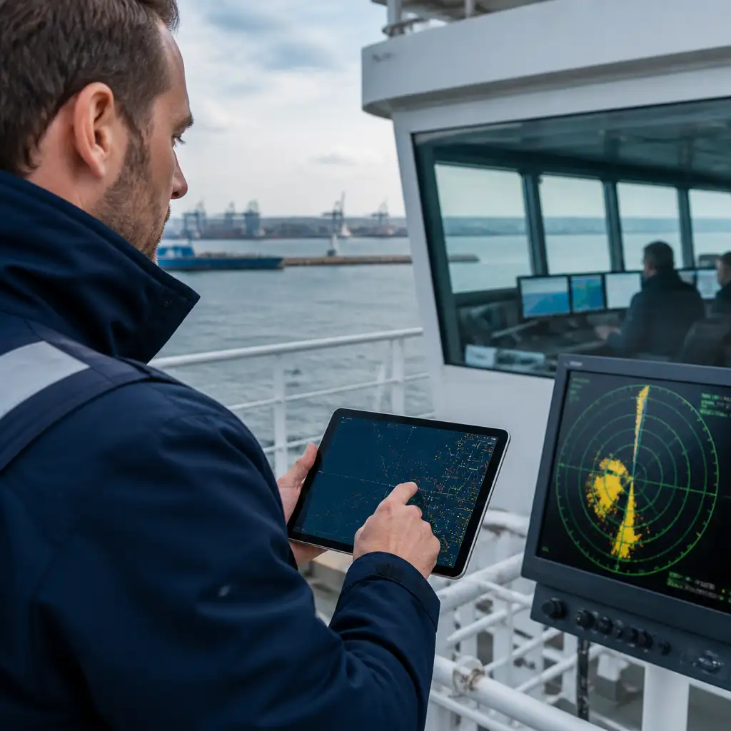
Automated Identification System (AIS) and Vessel Traffic Service (VTS) datasets are routinely central to contemporary marine casualty investigations. When acquired, validated and analyzed correctly, these data streams enable reconstruction of vessel tracks, assessment of bridge behavior, verification of COLREGs compliance and correlation with witness statements and sensor logs. For investigators, surveyors and insurers, understanding the nuances of AIS and VTS data is essential to produce robust, defensible findings.
This article provides a technical how-to for acquiring AIS and VTS datasets, integrating radar and voyage data, maintaining an auditable chain of custody, and avoiding common pitfalls that compromise reconstruction quality. The guidance emphasises practical steps that align with investigative workflows used in port authorities, classification societies and commercial casualty teams.
Readers should expect actionable procedures, recommended tools and sample templates they can adapt for evidence capture, validation and analysis. Jurisdictional retention policies and access procedures vary; always confirm local regulatory requirements while following the preservation and validation best practices described here.
Understanding AIS and VTS datasets: sources, formats and limitations
AIS provides broadcast dynamic and static data from vessels fitted with transponders: position, course, speed, navigational status, MMSI and voyage-related fields. VTS centers augment local situational awareness with radar sweeps, target-tracking, voice logs and often recorded radar images or replay files. Both sources are valuable, but each has inherent limitations that must be recognized during reconstruction.
AIS reception quality depends on line-of-sight radio propagation, antenna height and spectrum congestion. Gaps, duplicated reports, incorrect MMSI assignment and multipath anomalies are common. VTS radar records are typically reliable for position and bearing near shore, but radar returns may include clutter, false echoes and transient targets. Time synchronisation between systems is a recurrent challenge.
Investigators should treat AIS and VTS as complementary: AIS gives identity and voyage intent while VTS radar and recorded imagery provide independent positional corroboration. When initiating an investigation, a rapid assessment of available data types and their native formats (NMEA sentences, CSV exports, proprietary replay formats, video) helps determine conversion and validation steps required for accurate reconstruction.
Acquisition and preservation: legal access, retention timelines and data requests
Prompt evidence preservation is critical. VTS centers and port authorities often enforce short retention windows for radar replay and voice logs; common practical retention ranges are 30–90 days for raw radar replays and voice, though some centers retain longer. AIS service providers and commercial archives may retain aggregated AIS histories for years. Investigators should request preservation holds within 24–72 hours of notification and serve formal data requests where required.
Best practice retention guidance for investigations: immediately request a preservation hold, obtain confirmation in writing, and schedule transfer of data copies within 7 days when feasible. Capture metadata that describes the source, original filename, export method and UTC timestamps. Note that voyage data recorder (VDR) and simplified VDR (S-VDR) data have separate legal protections and technical retrieval requirements; coordinate with flag state or classification authorities for lawful download procedures.
Always document the provenance and legal basis for data acquisition. When dealing with insurers or third-party claimants, secure written consent where appropriate. Use the following immediate actions checklist upon receiving a notification of a marine casualty: 1) issue preservation holds to VTS and AIS providers, 2) request VDR download if applicable, 3) obtain bridge and engine room logs, and 4) collect witness statements and any shore-based CCTV or pilot logs that may be available.
Validating AIS and VTS data: cleaning, error detection and timestamp reconciliation
Validation begins with data integrity checks. Compute checksums on original files (SHA-256) immediately after acquisition and retain the checksum in the evidence log. Check file sizes and compare record counts against expected values. For AIS, verify MMSI-to-call-sign-to-vessel-name consistency and flag static-data changes (e.g. sudden IMO or vessel name changes) for further enquiry.
Common cleaning steps include removing duplicate reports, normalising coordinate formats (decimal degrees), and eliminating obvious outliers that result from reception errors. Time synchronisation is crucial: ensure all sources are referenced to UTC and document any offsets. Where VTS radar replay files or video have embedded timestamps, confirm device clock accuracy against a reliable NTP reference or GNSS time-stamp where possible.
Validation also requires cross-source correlation. Overlay AIS tracks with VTS-derived tracks and visually inspect for consistent movement vectors. Discrepancies greater than expected reception error should be traced to source issues (antenna location, VTS sensor bearing offset, time drift). Maintain an audit trail of every transformation performed on the dataset and retain original raw files untouched in secure storage.
Integrating radar, VDR and other sensor sources
Integrated reconstructions combine AIS and VTS with radar sweeps, VDR replay, ECDIS screenshots and, where available, pilot logbooks or CCTV. The integration workflow generally follows: time normalisation, spatial reference alignment, data fusion and visualisation. Spatial reference alignment ensures all position reports use the same datum (WGS84 is standard) and map projection for GIS overlay.
When overlaying radar-derived bearings with AIS positions, account for radar antenna offsets and parallax relative to the ship’s GPS antenna. VDR data can provide high-frequency bridge inputs (heading, speed-through-water, gyro) that bridge gaps in AIS broadcasts. Extracting VDR requires trained technicians and adherence to legal chain-of-custody; always record personnel involved in downloads and preserve original VDR media.
Tools that support multi-source visualisation (GIS platforms with time-slider capability, time-synchronised video players) are essential. Use visual overlays to identify maneuvers, assess lookouts and verify compliance with navigation rules. For incidents near offshore installations or wind farms, ensure that any industry-specific safety zones or seasonal traffic patterns are considered during spatial analysis, remaining neutral regarding industrial activity.
Chain of custody and evidence logging: templates and best practices
A robust chain of custody preserves evidential weight. Each dataset acquired should have an associated evidence log entry capturing: source, date/time obtained, method of transfer, file identifiers, checksum, the name of the person who collected the data and subsequent handlers. Digital evidence should be stored on secure, access-controlled servers with write-once archived copies.
Below is a sample evidence log template investigators can adapt. Use the template to create an auditable record for court, insurer or regulatory review.
| Item ID | Source | Description | Date/Time (UTC) | File Name | Hash (SHA-256) | Collector | Chain Notes |
|---|---|---|---|---|---|---|---|
| EVID-001 | Harbor VTS | Radar replay – sector 1 | 2026-05-12 08:34:00 | vts_radar_sector1_20260512.bin | 3a7f…9d2b | Investigator A | Preservation request issued 2026-05-12 |
Additional best practices: image and video files should be exported in their original codec when possible; avoid transcoding that alters timestamps. For every physical device (hard drives, USB sticks), label, serialise and photograph the media. Use tamper-evident bags for physical transfers. For digital transfers, use secure SFTP or physically hand-deliver encrypted storage with receipts signed by receiving parties.
Analysis techniques for incident reconstruction and common pitfalls
Reconstruction techniques range from simple timeline generation to complex kinematic modelling. Start with a timeline of key events derived from AIS, VTS and VDR. Use interpolation methods to estimate vessel positions between AIS transmits; for high-fidelity work, apply Kalman filters or vessel motion models that incorporate speed and heading to reduce noise. Visualize trajectories with confidence bands that reflect reception uncertainty.
Common pitfalls that degrade reconstruction quality include: uncorrected time offsets between sources, failing to account for AIS antenna height effects on reception, assuming continuous AIS coverage in blind sectors, and ignoring data tampering indicators such as abrupt MMSI changes. Human factors also matter: reconcile bridge lookout statements and pilot reports with sensor records rather than assuming sensor primacy.
For insurers and surveyors, produce two layers of deliverable: a descriptive timeline and a technical appendix detailing processing steps, validation checks and hash lists. This separation preserves readability for stakeholders while allowing technical reviewers to audit the methods. Recommended analysis tools include GIS software with temporal capabilities, Python or R for data manipulation, and specialized AIS parsing libraries to convert raw NMEA feeds into structured tables.
Frequently Asked Questions
Q: How long should I wait before requesting VTS radar replays?
A: Request preservation immediately on notification; issue a formal preservation hold within 24–72 hours. Many VTS centers have short retention windows (commonly 30–90 days), so prompt action is essential to avoid data loss.
Q: Can AIS be trusted for precise position in collision analysis?
A: AIS is useful for identity and general track reconstruction but has limitations. Verify AIS positions against independent sources such as VTS radar, VDR and shore CCTV. Use error modelling and do not rely solely on AIS for centimetre-level precision.
Q: What is the minimum evidence log information I must record?
A: At minimum record: item identifier, data source, date/time (UTC) acquired, original file name, checksum (SHA-256), collector name and any transfer or custody events. More detailed metadata improves evidential robustness.
Ensure the utmost safety and compliance for your marine operations. For expert advice and comprehensive marine safety services, call us at 508-996-4110 or email tom@marinesafetyconsultants.com. Let’s prioritize your safety together.